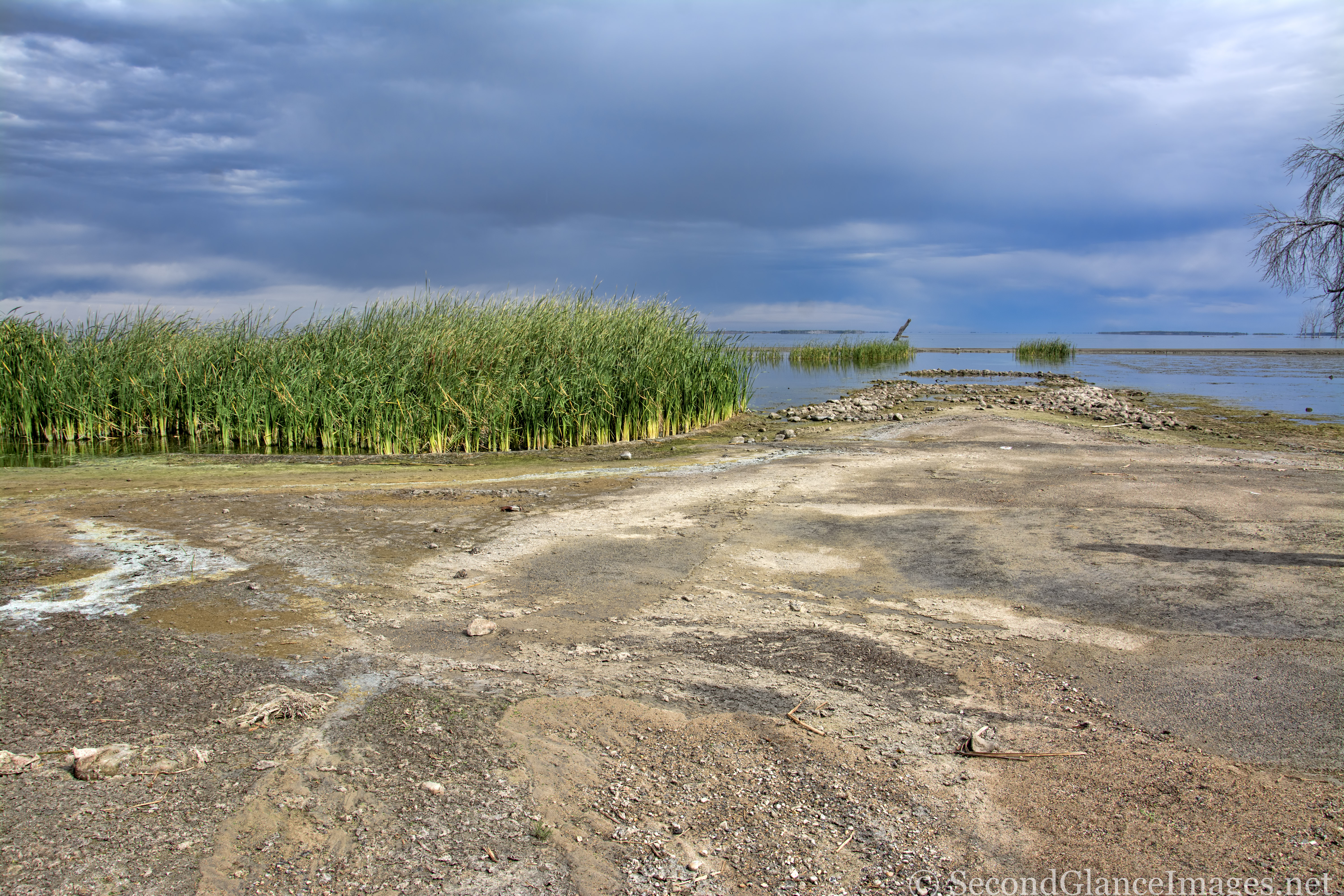
Until a few months ago, I knew nothing about Minnewaukan or Devils Lake (the body of water) and how much the later has affected the former and neighboring areas over the last 15-20 years. If you look for this intersection on Google maps, it isn’t there … and in fact, is underwater in the satellite images. The last few years have seen the waters recede just enough to allow the sun to shine on the silt covered “streets” and curbs of these streets. I was standing on D Street E facing east toward the lake with B Ave N crossing in front of me. That strip of land running horizontally through the middle of the water and barely visible would be C Ave N. If you are interested, google “Devils Lake ND flooding” and you’ll find all sorts of info … data on how Devils Lake has changed over the years – historically and recently – and how it has affected the families who have (or had) been living around the lake for generations.